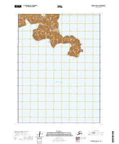
2020 Map of Stepovak Bay D-3 SE
USGS Topo · Published 2020About this map
Sosbee Bay indentations the western edge of a landmass where steep, unnamed ridges rise sharply from the Pacific waters. This coastal area in the Gulf of Alaska is defined by its dramatic transition from sea to land, where high-elevation contours represent the isolated peaks of the Alaska Peninsula. Most of the terrain is uninhabited, characterized by narrow peninsulas and deep inlets that remain largely untouched by road networks. The cartography focuses on the intricate shoreline and the natural topography of the shoreline, documenting the precise boundary where the open gulf meets these rocky outcroppings.
Find a feature on this map
5 named features on this map. Tap any name to fly to it.
Don’t see what you’re looking for? This feature index may not catch every label — zoom into the map to look around manually.
Map Details
Editions of this 2020 Stepovak Bay D-3 SE Map
This is the sole edition of this map. No revisions or reprints were ever made.
Other maps of this area

1951 · Stepovak Bay
USGS Topo · 1:250,000

1963 · Stepovak Bay D-2
USGS Topo · 1:63,360
1963 · Stepovak Bay D-3
USGS Topo · 1:63,360

1963 · Stepovak Bay
USGS Topo · 1:250,000

1969 · Stepovak Bay
USGS Topo · 1:250,000
2020 · Stepovak Bay D-2 NW
USGS Topo · 1:25,000
2020 · Stepovak Bay D-3 NW
USGS Topo · 1:25,000
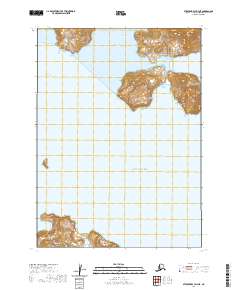
2020 · Stepovak Bay D-3 NE
USGS Topo · 1:25,000
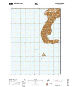
2020 · Stepovak Bay D-3 SW
USGS Topo · 1:25,000