
1963 Map of Chignik A-3
USGS Topo · Published 1967About this map
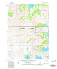
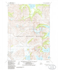
Chignik Lake sits at the head of a complex drainage system on the Alaska Peninsula, where the W Fk Chignik River and Clark River converge amidst steep glacial topography. This 1963 field-annotated survey reveals a coastline defined by deep indentations, from the protected waters of Ivan Bay and Fishrack Bay in the south to the exposed reaches of Windy Bay further north. The map captures the raw geographical character of the Seward Meridian before modern development, emphasizing the relationship between interior freshwater systems like Home Creek and the tidal inlets of the Pacific coast. High-elevation landmarks such as Bobby and Windy provide reference points for navigating the drainage basins between Foot Bay and the northern gulches. For researchers of Alaskan geography, the map serves as a primary record of the hydrological patterns and named coastal features of the Lake and Peninsula region.
Find a feature on this map
12 named features on this map. Tap any name to fly to it.
Don’t see what you’re looking for? This feature index may not catch every label — zoom into the map to look around manually.
Map Details
Editions of this 1963 Chignik A-3 Map
3 editions found
Other maps of this area

1951 · Stepovak Bay
USGS Topo · 1:250,000

1963 · Stepovak Bay D-2
USGS Topo · 1:63,360

1963 · Chignik B-2
USGS Topo · 1:63,360

1963 · Chignik A-4
USGS Topo · 1:63,360

1963 · Stepovak Bay D-4
USGS Topo · 1:63,360

1963 · Chignik A-2
USGS Topo · 1:63,360

1963 · Chignik B-4
USGS Topo · 1:63,360

1963 · Chignik B-3
USGS Topo · 1:63,360

1963 · Chignik
USGS Topo · 1:250,000
1963 · Stepovak Bay D-3
USGS Topo · 1:63,360