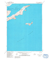
1963 Map of Chignik A-1
USGS Topo · Published 1992About this map
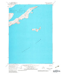
The Alaska Peninsula National Wildlife Refuge dominates this coastal landscape, protecting a significant stretch of the Alaska Peninsula shoreline. Photogrammetric data from the early 1960s documents a jagged maritime environment where steep elevations meet the Pacific Ocean. Key geographical markers include the prominent Cape Castle and the nearby Tuliumnit Pt, which frame the entrance to Castle Bay. Off the coast, the isolated Chankliut Island sits as a lonely sentinel in the sea. The map provides a detailed record of coastal indentations such as Nikolai Cove and Necessity Cove, offering insight into the natural harbors and topographic contours of this wilderness area before later environmental and administrative revisions.
Find a feature on this map
9 named features on this map. Tap any name to fly to it.
Don’t see what you’re looking for? This feature index may not catch every label — zoom into the map to look around manually.
Map Details
Editions of this 1963 Chignik A-1 Map
3 editions found
Other maps of this area

1951 · Stepovak Bay
USGS Topo · 1:250,000

1951 · Sutwik Island
USGS Topo · 1:250,000

1963 · Stepovak Bay D-2
USGS Topo · 1:63,360

1963 · Chignik B-2
USGS Topo · 1:63,360

1963 · Chignik B-1
USGS Topo · 1:63,360

1963 · Chignik A-2
USGS Topo · 1:63,360

1963 · Sutwik Island B-6
USGS Topo · 1:63,360
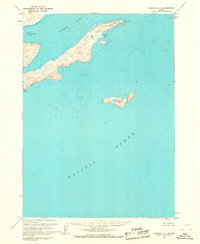
1963 · Chignik A-1
USGS Topo · 1:63,360

1963 · Sutwik Island
USGS Topo · 1:250,000

1963 · Chignik
USGS Topo · 1:250,000