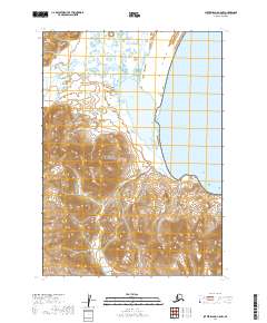
2019 Map of Sutwik Island C-5 NW
USGS Topo · Published 2019About this map
Aniakchak National Preserve dominates this coastal portion of the Alaska Peninsula, where the land meets the cold waters of Aniakchak Bay. The map illustrates a transitional landscape of drainages and maritime conservation areas, including a section of the Alaska Maritime National Wildlife Refuge. Numerous watercourses like Black Creek, Village Cr, and Wolverine Cr cut through the terrain as they flow toward the shoreline. To the south, Cape Kumlik stands as a prominent coastal landmark. This 2019 survey by the U.S. Geological Survey captures the topographic detail of this protected wilderness, reflecting the modern preservation status of these federal lands within the Lake and Peninsula Borough.
Find a feature on this map
12 named features on this map. Tap any name to fly to it.
Don’t see what you’re looking for? This feature index may not catch every label — zoom into the map to look around manually.
Map Details
Editions of this 2019 Sutwik Island C-5 NW Map
This is the sole edition of this map. No revisions or reprints were ever made.
Other maps of this area

1951 · Sutwik Island
USGS Topo · 1:250,000

1963 · Sutwik Island
USGS Topo · 1:250,000

1963 · Sutwik Island C-6
USGS Topo · 1:63,360
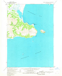
1963 · Sutwik Island C-5
USGS Topo · 1:63,360
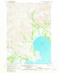
1963 · Sutwik Island D-5
USGS Topo · 1:63,360
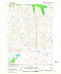
1963 · Sutwik Island D-6
USGS Topo · 1:63,360
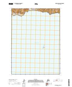
2019 · Sutwik Island C-5 SW
USGS Topo · 1:25,000
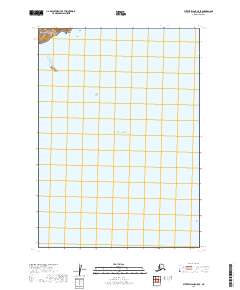
2019 · Sutwik Island C-5 SE
USGS Topo · 1:25,000
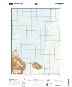
2019 · Sutwik Island C-5 NE
USGS Topo · 1:25,000
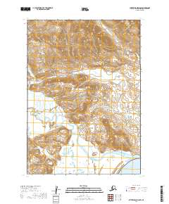
2019 · Sutwik Island D-5 SW
USGS Topo · 1:25,000