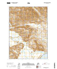
2019 Map of Sutwik Island D-5 SW
USGS Topo · Published 2019About this map
The Aniakchak National Preserve defines this landscape on the Alaska Peninsula, centered on the dramatic hydrology of the Aniakchak Wild and Scenic River. Flowing southward from the interior, the Aniakchak River meanders toward its outlet at Aniakchak Bay in the southeastern corner of the quadrangle. The terrain is marked by the prominent landform of Cape Horn, which overlooks the river's path as it cuts through the coastal mountains. This 2019 survey documents a wilderness area largely defined by its natural boundaries and township lines, including t39s r52w and t40s r52w, showing the remote coastal interface where northern streams meet the tide. Small tributaries like W Cr drain the high ridges, illustrating the complex drainage patterns of this protected watershed.
Find a feature on this map
13 named features on this map. Tap any name to fly to it.
Don’t see what you’re looking for? This feature index may not catch every label — zoom into the map to look around manually.
Map Details
Editions of this 2019 Sutwik Island D-5 SW Map
This is the sole edition of this map. No revisions or reprints were ever made.
Other maps of this area

1951 · Sutwik Island
USGS Topo · 1:250,000

1963 · Sutwik Island
USGS Topo · 1:250,000

1963 · Sutwik Island C-6
USGS Topo · 1:63,360
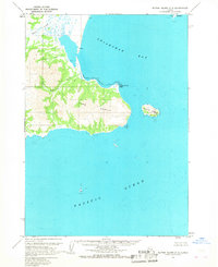
1963 · Sutwik Island C-5
USGS Topo · 1:63,360
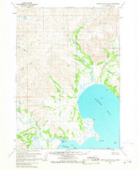
1963 · Sutwik Island D-5
USGS Topo · 1:63,360
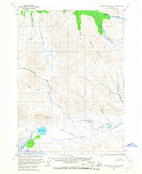
1963 · Sutwik Island D-6
USGS Topo · 1:63,360
2019 · Sutwik Island D-5 NW
USGS Topo · 1:25,000
2019 · Sutwik Island C-5 NE
USGS Topo · 1:25,000
2019 · Sutwik Island D-6 NE
USGS Topo · 1:25,000
2019 · Sutwik Island C-5 NW
USGS Topo · 1:25,000