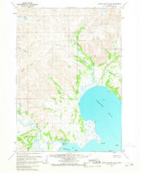
1963 Map of Sutwik Island D-5
USGS Topo · Published 1968About this map
Amber Bay and the coastal reaches of the Aniakchak River dominate this early 1960s survey of the Alaska Peninsula. The landscape is defined by its complex drainage systems, where the Cinder River and its North Fork meet the headwaters of Main Creek and Wiggly Creek. The coastal geography is meticulously charted, showing the protective reach of Cape Horn and Cape Ayutka alongside smaller landmarks such as Eagle I and Garden I. Further inland, the map captures the transition from high mountain terrain to the broad Tidal Flat of Aniakchak Bay. This topographical study reflects a wilderness before modern development, recording the natural waterways and coastal points like Goon and Nest that guided travel and identified the region's geographic character during this era.
Find a feature on this map
19 named features on this map. Tap any name to fly to it.
Don’t see what you’re looking for? This feature index may not catch every label — zoom into the map to look around manually.
Map Details
Editions of this 1963 Sutwik Island D-5 Map
2 editions found
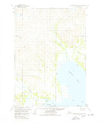
Other maps of this area

1943 · Ugashik
USGS Topo · 1:250,000

1948 · Ugashik
USGS Topo · 1:250,000

1949 · Ugashik
USGS Topo · 1:250,000

1951 · Sutwik Island
USGS Topo · 1:250,000

1963 · Ugashik A-6
USGS Topo · 1:63,360

1963 · Ugashik A-4
USGS Topo · 1:63,360
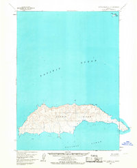
1963 · Sutwik Island C-4
USGS Topo · 1:63,360

1963 · Sutwik Island
USGS Topo · 1:250,000

1963 · Sutwik Island C-6
USGS Topo · 1:63,360
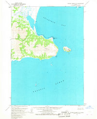
1963 · Sutwik Island C-5
USGS Topo · 1:63,360