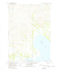
1963 Map of Sutwik Island D-5
USGS Topo · Published 1978About this map
Amber Bay and the coastal waters of the Alaska Peninsula dominate this early 1960s survey, revealing a landscape defined by braided river systems and dramatic headlands. The terrain is shaped by the Aniakchak River, which flows toward Aniakchak Bay past a significant Tidal Flat. To the north, the Cinder River and its various tributaries, including the aptly named Wiggly Creek and the North Fork, drain the upland slopes. This sheet is characterized by its coastal identifiers such as Cape Horn and Cape Ayutka, alongside small offshore features like Eagle I and Garden I. The lack of established roads or settlements emphasizes the remote, maritime nature of the region during this era of photogrammetric mapping.
Find a feature on this map
19 named features on this map. Tap any name to fly to it.
Don’t see what you’re looking for? This feature index may not catch every label — zoom into the map to look around manually.
Map Details
Editions of this 1963 Sutwik Island D-5 Map
2 editions found
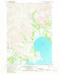
Other maps of this area

1943 · Ugashik
USGS Topo · 1:250,000

1948 · Ugashik
USGS Topo · 1:250,000

1949 · Ugashik
USGS Topo · 1:250,000

1951 · Sutwik Island
USGS Topo · 1:250,000

1963 · Ugashik A-6
USGS Topo · 1:63,360

1963 · Ugashik A-4
USGS Topo · 1:63,360
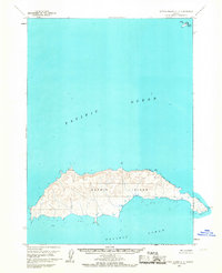
1963 · Sutwik Island C-4
USGS Topo · 1:63,360

1963 · Sutwik Island
USGS Topo · 1:250,000

1963 · Sutwik Island C-6
USGS Topo · 1:63,360
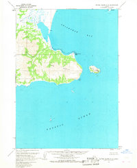
1963 · Sutwik Island C-5
USGS Topo · 1:63,360