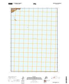
2019 Map of Sutwik Island C-5 SE
USGS Topo · Published 2019About this map
The Pacific Ocean dominates this maritime survey along the coastline of the Alaska Peninsula. Most of the map area is open water, defining the remote marine environment of the Alaska Maritime National Wildlife Refuge. The northern edge of the sheet captures a small segment of the rugged coastline within the Aniakchak National Preserve, where the land meets the sea at the boundary of township T41S R52W. This 2019 data illustrates the preserved coastal wilderness in Lake and Peninsula Borough, where surveying boundaries like t41s r52w and t41s r51w extend into the offshore reaches of the Pacific.
Find a feature on this map
7 named features on this map. Tap any name to fly to it.
Don’t see what you’re looking for? This feature index may not catch every label — zoom into the map to look around manually.
Map Details
Editions of this 2019 Sutwik Island C-5 SE Map
This is the sole edition of this map. No revisions or reprints were ever made.
Other maps of this area

1951 · Sutwik Island
USGS Topo · 1:250,000
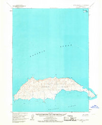
1963 · Sutwik Island C-4
USGS Topo · 1:63,360

1963 · Sutwik Island
USGS Topo · 1:250,000
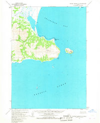
1963 · Sutwik Island C-5
USGS Topo · 1:63,360
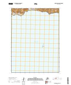
2019 · Sutwik Island C-5 SW
USGS Topo · 1:25,000
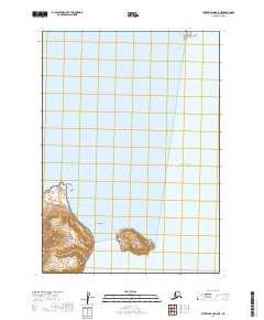
2019 · Sutwik Island C-5 NE
USGS Topo · 1:25,000
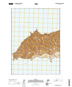
2019 · Sutwik Island C-4 SW
USGS Topo · 1:25,000
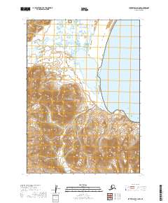
2019 · Sutwik Island C-5 NW
USGS Topo · 1:25,000