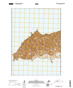
2019 Map of Sutwik Island C-4 SW
USGS Topo · Published 2019About this map
Sutwik Island dominates this 2019 topographical study within the Pacific Ocean, providing a focused view of the island’s southern central coastline. This portion of the island is characterized by steep, concentrated elevation changes that rise sharply from the water’s edge, reaching several high points that overlook the surrounding sea. The land is legally organized into the t42s r51w, t42s r50w, t41s r51w, and t41s r50w townships. The absence of roads or established settlements on the sheet underscores the remote, untouched nature of the landscape in the Lake and Peninsula Borough. Topographic contour lines reveal a complex network of ridges and drainage patterns that define the island’s interior, reflecting a geography shaped entirely by maritime elements and tectonic forces rather than human development.
Find a feature on this map
6 named features on this map. Tap any name to fly to it.
Don’t see what you’re looking for? This feature index may not catch every label — zoom into the map to look around manually.
Map Details
Editions of this 2019 Sutwik Island C-4 SW Map
This is the sole edition of this map. No revisions or reprints were ever made.
Other maps of this area

1951 · Sutwik Island
USGS Topo · 1:250,000
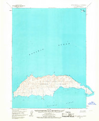
1963 · Sutwik Island C-4
USGS Topo · 1:63,360

1963 · Sutwik Island
USGS Topo · 1:250,000
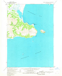
1963 · Sutwik Island C-5
USGS Topo · 1:63,360
2019 · Sutwik Island C-5 SE
USGS Topo · 1:25,000
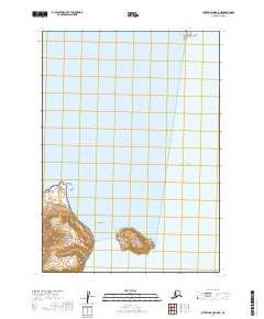
2019 · Sutwik Island C-5 NE
USGS Topo · 1:25,000
2019 · Sutwik Island C-4 NE
USGS Topo · 1:25,000
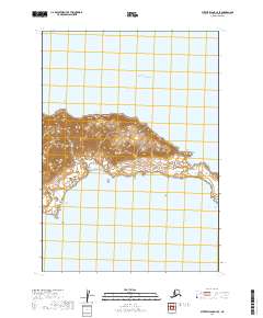
2019 · Sutwik Island C-4 SE
USGS Topo · 1:25,000