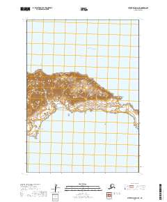
2019 Map of Sutwik Island C-4 SE
USGS Topo · Published 2019About this map
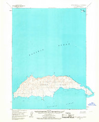
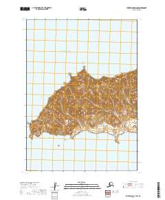
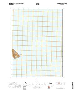
Sutwik Island sits as a solitary landmass surrounded by the Pacific Ocean in this 2019 survey of the Lake and Peninsula Borough. The topography is defined by sharp contouring that rises abruptly from the coastline to several distinct peaks, with the highest elevations concentrated in the central and northern interior of the island. The coastal edge is punctuated by numerous small coves and inlets, though no permanent structures or human settlements are marked on this specific portion of the island. The grid lines for t41s r50w, t41s r49w, t42s r50w, and t42s r49w intersect across the land and sea, indicating the systematic mapping of this maritime environment.
Find a feature on this map
6 named features on this map. Tap any name to fly to it.
Don’t see what you’re looking for? This feature index may not catch every label — zoom into the map to look around manually.
Map Details
Editions of this 2019 Sutwik Island C-4 SE Map
This is the sole edition of this map. No revisions or reprints were ever made.