2019 Map of Sutwik Island C-4 OE E SW
USGS Topo · Published 2019About this map
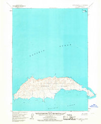
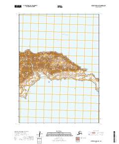
Sutwik Island emerges from the surrounding Pacific Ocean in this coastal Alaskan study, dominated by the prominent landmark of Foggy Cape. The map records the southern tip of this landmass within the Lake and Peninsula Borough, illustrating a shoreline defined by its relationship with the vast waters of the north Pacific. While the majority of the quadrangle is occupied by open ocean, the terrestrial portion provides a clear view of the topography and township boundaries of t42s r49w and t41s r49w. These surveyed sections and the natural contouring of the island's southern reach offer a focused look at the remote geography of the Alaska Peninsula region.
Find a feature on this map
5 named features on this map. Tap any name to fly to it.
Don’t see what you’re looking for? This feature index may not catch every label — zoom into the map to look around manually.
Map Details
Editions of this 2019 Sutwik Island C-4 OE E SW Map
This is the sole edition of this map. No revisions or reprints were ever made.