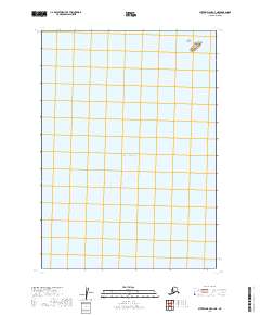
2019 Map of Sutwik Island C-4 NE
USGS Topo · Published 2019About this map
Pacific Ocean waters dominate this coastal quadrangle on the southern edge of the Alaska Peninsula. The map is almost entirely marine, highlighting the secluded Hydra Island as the primary terrestrial feature. This small landmass is protected as part of the Alaska Maritime National Wildlife Refuge, reflecting the region's importance for marine conservation and wildlife habitat. The survey depicts the offshore environment near the Lake and Peninsula Borough during the early twenty-first century, providing a clear view of the maritime boundaries and hydrography of this isolated reach of the North Pacific.
Find a feature on this map
6 named features on this map. Tap any name to fly to it.
Don’t see what you’re looking for? This feature index may not catch every label — zoom into the map to look around manually.
Map Details
Editions of this 2019 Sutwik Island C-4 NE Map
This is the sole edition of this map. No revisions or reprints were ever made.
Other maps of this area

1951 · Sutwik Island
USGS Topo · 1:250,000

1954 · Sutwik Island D-3
USGS Topo · 1:63,360
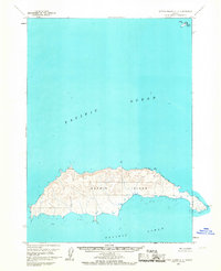
1963 · Sutwik Island C-4
USGS Topo · 1:63,360

1963 · Sutwik Island
USGS Topo · 1:250,000
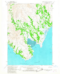
1963 · Sutwik Island D-4
USGS Topo · 1:63,360
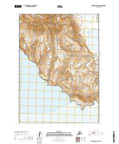
2019 · Sutwik Island D-4 SW
USGS Topo · 1:25,000
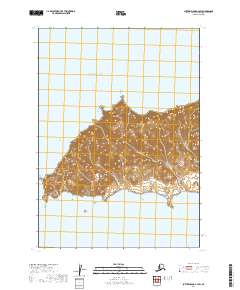
2019 · Sutwik Island C-4 SW
USGS Topo · 1:25,000
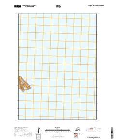
2019 · Sutwik Island C-4 OE E SW
USGS Topo · 1:25,000
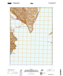
2019 · Sutwik Island D-4 SE
USGS Topo · 1:25,000
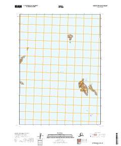
2019 · Sutwik Island D-3 SW
USGS Topo · 1:25,000