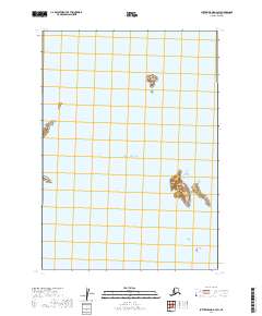
2019 Map of Sutwik Island D-3 SW
USGS Topo · Published 2019About this map
Ugalushak Island and Central Island rise as distinct landforms within this maritime expanse of the Pacific Ocean on the Alaskan coast. This 2019 survey documents a largely submerged landscape, defined by precise bathymetric indicators such as Toee Reef in the southeastern waters. The map provides a detailed view of the coastal geography within the Lake and Peninsula Borough, emphasizing the isolation of these island features. The absence of terrestrial developments or human infrastructure highlights the purely natural state of these landmasses, which serve as critical markers for navigation and ecological study in the region.
Find a feature on this map
8 named features on this map. Tap any name to fly to it.
Don’t see what you’re looking for? This feature index may not catch every label — zoom into the map to look around manually.
Map Details
Editions of this 2019 Sutwik Island D-3 SW Map
This is the sole edition of this map. No revisions or reprints were ever made.
Other maps of this area

1951 · Sutwik Island
USGS Topo · 1:250,000

1954 · Sutwik Island D-3
USGS Topo · 1:63,360
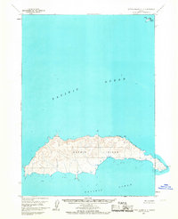
1963 · Sutwik Island C-4
USGS Topo · 1:63,360

1963 · Sutwik Island
USGS Topo · 1:250,000
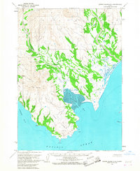
1963 · Sutwik Island D-4
USGS Topo · 1:63,360
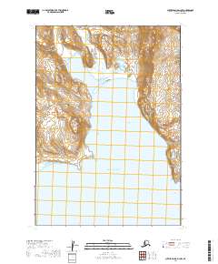
2019 · Sutwik Island D-3 NW
USGS Topo · 1:25,000
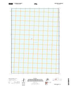
2019 · Sutwik Island D-3 SE
USGS Topo · 1:25,000
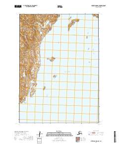
2019 · Sutwik Island D-3 NE
USGS Topo · 1:25,000
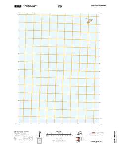
2019 · Sutwik Island C-4 NE
USGS Topo · 1:25,000
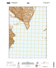
2019 · Sutwik Island D-4 SE
USGS Topo · 1:25,000