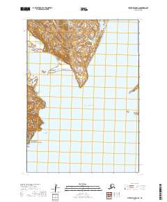
2019 Map of Sutwik Island D-4 SE
USGS Topo · Published 2019About this map
Yantarni Bay indents the coastline of this coastal region, where the steep terrain of the Alaska Peninsula National Wildlife Refuge meets the Pacific Ocean. This 2019 survey documents a landscape primarily defined by massive federal conservation boundaries, illustrating the intersection of the Aniakchak National Preserve and the Alaska Maritime National Wildlife Refuge. The lack of man-made infrastructure, such as roads or permanent settlements, underscores the protected status of these lands. Topographic contours reveal the drainage patterns flowing from high ridgelines down toward the bay and the open ocean, providing a clear record of the area's physical geography within the Lake and Peninsula Borough.
Find a feature on this map
10 named features on this map. Tap any name to fly to it.
Don’t see what you’re looking for? This feature index may not catch every label — zoom into the map to look around manually.
Map Details
Editions of this 2019 Sutwik Island D-4 SE Map
This is the sole edition of this map. No revisions or reprints were ever made.
Other maps of this area

1951 · Sutwik Island
USGS Topo · 1:250,000

1954 · Sutwik Island D-3
USGS Topo · 1:63,360
1963 · Sutwik Island C-4
USGS Topo · 1:63,360

1963 · Sutwik Island
USGS Topo · 1:250,000
1963 · Sutwik Island D-4
USGS Topo · 1:63,360
2019 · Sutwik Island D-4 SW
USGS Topo · 1:25,000
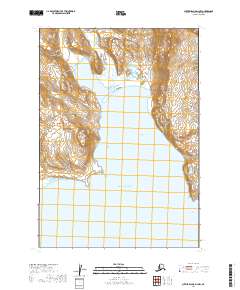
2019 · Sutwik Island D-3 NW
USGS Topo · 1:25,000
2019 · Sutwik Island C-4 NE
USGS Topo · 1:25,000
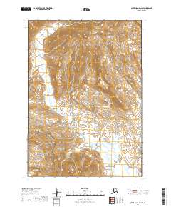
2019 · Sutwik Island D-4 NW
USGS Topo · 1:25,000
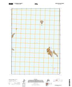
2019 · Sutwik Island D-3 SW
USGS Topo · 1:25,000