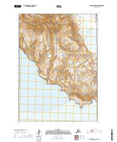
2019 Map of Sutwik Island D-4 SW
USGS Topo · Published 2019About this map
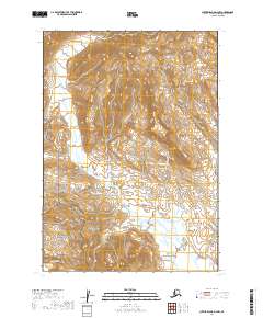
Aniakchak National Preserve dominates the central landscape of this coastal stretch on the Alaska Peninsula, where the wild terrain meets the Pacific Ocean. This 2019 survey documents a rugged interface of land and sea protected within a complex of federal lands, including the Alaska Peninsula National Wildlife Refuge and the Alaska Maritime National Wildlife Refuge. The coastline is defined by the prominent Cape Kunmik, which separates the waters of Amber Bay to the west from the broader reach of Yantarni Bay to the northeast. Inland, the hydrology is characterized by short, steep drainages such as Misery Cr, Home Cr, and Yantarni Cr, which carve through the coastal mountains. The map reveals a landscape largely devoid of human infrastructure, focusing instead on the natural topography and the precisely defined boundaries of these vast conservation units during the early twenty-first century.
Find a feature on this map
16 named features on this map. Tap any name to fly to it.
Don’t see what you’re looking for? This feature index may not catch every label — zoom into the map to look around manually.
Map Details
Editions of this 2019 Sutwik Island D-4 SW Map
This is the sole edition of this map. No revisions or reprints were ever made.
Other maps of this area

1951 · Sutwik Island
USGS Topo · 1:250,000
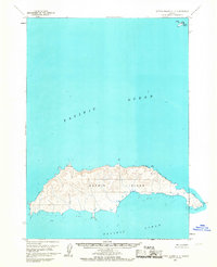
1963 · Sutwik Island C-4
USGS Topo · 1:63,360

1963 · Sutwik Island
USGS Topo · 1:250,000
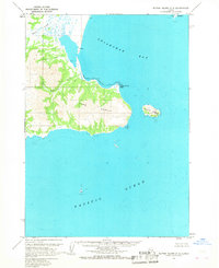
1963 · Sutwik Island C-5
USGS Topo · 1:63,360
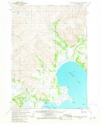
1963 · Sutwik Island D-5
USGS Topo · 1:63,360
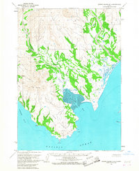
1963 · Sutwik Island D-4
USGS Topo · 1:63,360
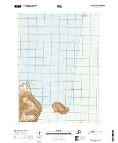
2019 · Sutwik Island C-5 NE
USGS Topo · 1:25,000
2019 · Sutwik Island C-4 NE
USGS Topo · 1:25,000
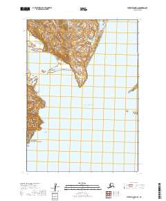
2019 · Sutwik Island D-4 SE
USGS Topo · 1:25,000
2019 · Sutwik Island D-4 NW
USGS Topo · 1:25,000