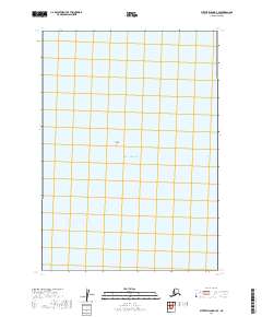
2019 Map of Sutwik Island D-3 SE
USGS Topo · Published 2019About this map
The Pacific Ocean dominates this coastal survey, where the marine environment meets a sparsely named shoreline. The most prominent landform identified is Radial Island, a distinct geological feature that serves as a landmark in these northern waters. The map is primarily organized around the Public Land Survey System grids of t38s r47w and t39s r47w, which provide a formal structure to this maritime expanse. These grids reflect the systematic efforts of the U.S. Geological Survey to document the remote coastal reaches of the Lake and Peninsula Borough.
Find a feature on this map
5 named features on this map. Tap any name to fly to it.
Don’t see what you’re looking for? This feature index may not catch every label — zoom into the map to look around manually.
Map Details
Editions of this 2019 Sutwik Island D-3 SE Map
This is the sole edition of this map. No revisions or reprints were ever made.
Other maps of this area

1951 · Sutwik Island
USGS Topo · 1:250,000

1954 · Sutwik Island D-3
USGS Topo · 1:63,360

1963 · Sutwik Island
USGS Topo · 1:250,000
1989 · Sutwik Island D-2
USGS Topo · 1:63,360
2019 · Sutwik Island D-3 NW
USGS Topo · 1:25,000
2019 · Sutwik Island D-3 NE
USGS Topo · 1:25,000
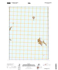
2019 · Sutwik Island D-3 SW
USGS Topo · 1:25,000
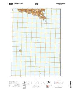
2019 · Sutwik Island D-2 NW
USGS Topo · 1:25,000