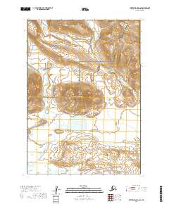
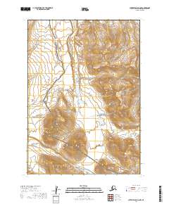
2019 Map of Sutwik Island D-6 SW
USGS Topo · Published 2019About this map
Aniakchak National Monument occupies the northern reaches of this Alaskan terrain, marking a landscape of significant conservation and geological interest. The topography is defined by the volcanic architecture of the region, where Pinnacle Mtn stands as a prominent landmark. The sheet delineates the transition from the monument into the Aniakchak National Preserve to the south, highlighting a wilderness area largely untouched by permanent settlement or infrastructure.
Find a feature on this map
15 named features on this map. Tap any name to fly to it.
Don’t see what you’re looking for? This feature index may not catch every label — zoom into the map to look around manually.
Map Details
Editions of this 2019 Sutwik Island D-6 SW Map
This is the sole edition of this map. No revisions or reprints were ever made.
Other maps of this area

1951 · Sutwik Island
USGS Topo · 1:250,000

1963 · Chignik C-1
USGS Topo · 1:63,360

1963 · Sutwik Island
USGS Topo · 1:250,000

1963 · Sutwik Island C-6
USGS Topo · 1:63,360

1963 · Chignik
USGS Topo · 1:250,000

1963 · Chignik D-1
USGS Topo · 1:63,360
1963 · Sutwik Island D-6
USGS Topo · 1:63,360
2019 · Sutwik Island D-6 NE
USGS Topo · 1:25,000
2019 · Sutwik Island C-6 NW
USGS Topo · 1:25,000
2019 · Sutwik Island D-6 NW
USGS Topo · 1:25,000