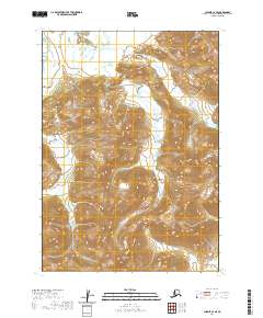
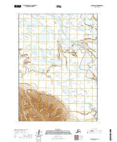
2020 Map of Chignik C-2 SE
USGS Topo · Published 2020About this map
The Aleutian Range dominates this portion of the Alaska Peninsula, where steep elevations and complex drainage patterns define the landscape. The terrain is marked by significant topographical shifts, rising toward the prominent Big Butte in the southern section of the quadrangle. Several water systems, including the aptly named Landlocked Creek and the shifting channels of Braided Creek, carve through the glacial or volcanic deposits characteristic of this region.
Find a feature on this map
14 named features on this map. Tap any name to fly to it.
Don’t see what you’re looking for? This feature index may not catch every label — zoom into the map to look around manually.
Map Details
Editions of this 2020 Chignik C-2 SE Map
This is the sole edition of this map. No revisions or reprints were ever made.
Other maps of this area

1963 · Chignik B-2
USGS Topo · 1:63,360

1963 · Chignik B-1
USGS Topo · 1:63,360

1963 · Chignik C-1
USGS Topo · 1:63,360

1963 · Chignik C-2
USGS Topo · 1:63,360

1963 · Chignik
USGS Topo · 1:250,000
2020 · Chignik B-2 NE
USGS Topo · 1:25,000
2020 · Chignik C-2 NE
USGS Topo · 1:25,000

2020 · Chignik C-1 SW
USGS Topo · 1:25,000
2020 · Chignik B-2 NW
USGS Topo · 1:25,000
2020 · Chignik C-2 NW
USGS Topo · 1:25,000