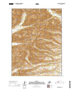
2020 Map of Chignik B-2 NW
USGS Topo · Published 2020About this map
Dago Frank Cr and Through Cr wind through the southern sections of this Lake and Peninsula Borough landscape, illustrating the intricate drainage patterns of the Alaska Peninsula. This 2020 USGS survey of the Chignik B-2 NW quadrangle reveals a territory defined by sharp topographic transitions, where high-elevation ridgelines separate the headwaters of several independent stream systems. Conglomerate Cr and Broad Cr drain the central and northern slopes, while the presence of Boulevard Cr and Neketa Cr further delineate the complex local hydrology. The map captures this remote area within the established Public Land Survey System, showing the township and range boundaries of t43s r59w and surrounding sections. For researchers of Alaskan geography, the map provides a precise record of the natural landforms and watercourses before significant modern development altered these interior drainage basins.
Find a feature on this map
12 named features on this map. Tap any name to fly to it.
Don’t see what you’re looking for? This feature index may not catch every label — zoom into the map to look around manually.
Map Details
Editions of this 2020 Chignik B-2 NW Map
This is the sole edition of this map. No revisions or reprints were ever made.
Other maps of this area

1963 · Chignik B-2
USGS Topo · 1:63,360

1963 · Chignik C-3
USGS Topo · 1:63,360

1963 · Chignik C-2
USGS Topo · 1:63,360

1963 · Chignik B-3
USGS Topo · 1:63,360

1963 · Chignik
USGS Topo · 1:250,000
2020 · Chignik B-2 NE
USGS Topo · 1:25,000
2020 · Chignik B-3 SE
USGS Topo · 1:25,000
2020 · Chignik B-2 SE
USGS Topo · 1:25,000
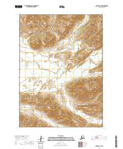
2020 · Chignik B-3 NE
USGS Topo · 1:25,000
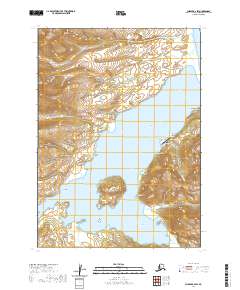
2020 · Chignik B-2 SW
USGS Topo · 1:25,000