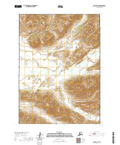
2020 Map of Chignik B-3 NE
USGS Topo · Published 2020About this map
Range Peak dominates the northern skyline of this Alaskan landscape, part of the Chignik B-3 NE quadrangle. The terrain is defined by a complex drainage system where the Alec River winds through the central valley, fed by numerous tributaries including Cathedral Cr and Boulevard Cr. This 2020 survey illustrates a wilderness shaped by high-elevation peaks and glacial runoff, with Milk Cr and Fan Cr carving deep paths through the surrounding ridges. The mapping reflects the characteristic isolation of the Lake and Peninsula Borough, where natural watercourses like Conglomerate Cr serve as the primary landmarks in an area devoid of roads or settlements. The survey's focus on hydrography provides a detailed record of the shifting channels of the Broad Cr and its associated wetlands.
Find a feature on this map
14 named features on this map. Tap any name to fly to it.
Don’t see what you’re looking for? This feature index may not catch every label — zoom into the map to look around manually.
Map Details
Editions of this 2020 Chignik B-3 NE Map
This is the sole edition of this map. No revisions or reprints were ever made.
Other maps of this area

1963 · Chignik B-2
USGS Topo · 1:63,360

1963 · Chignik C-3
USGS Topo · 1:63,360

1963 · Chignik C-2
USGS Topo · 1:63,360

1963 · Chignik B-3
USGS Topo · 1:63,360

1963 · Chignik
USGS Topo · 1:250,000
2020 · Chignik C-3 SW
USGS Topo · 1:25,000
2020 · Chignik B-3 NW
USGS Topo · 1:25,000
2020 · Chignik B-3 SE
USGS Topo · 1:25,000
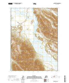
2020 · Chignik B-3 SW
USGS Topo · 1:25,000
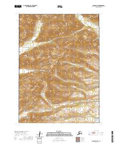
2020 · Chignik B-2 NW
USGS Topo · 1:25,000