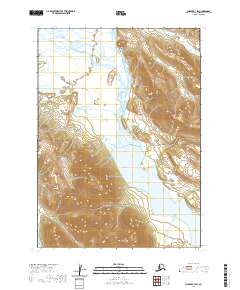
2020 Map of Chignik B-3 SW
USGS Topo · Published 2020About this map
The Aleutian Range dominates this terrain on the Alaska Peninsula, where the high ridges give way to a complex system of glacial and river valleys. Central to the landscape is the expansive Chignik Lake, which serves as a major hydrological hub for the surrounding peaks. The Chignik River and the W Fork Chignik River feed into this basin, creating a corridor of waterways that includes Bearskin Cr and Cucumber Cr.
Find a feature on this map
13 named features on this map. Tap any name to fly to it.
Don’t see what you’re looking for? This feature index may not catch every label — zoom into the map to look around manually.
Map Details
Editions of this 2020 Chignik B-3 SW Map
This is the sole edition of this map. No revisions or reprints were ever made.
Other maps of this area

1963 · Chignik A-4
USGS Topo · 1:63,360

1963 · Chignik B-4
USGS Topo · 1:63,360

1963 · Chignik A-3
USGS Topo · 1:63,360

1963 · Chignik B-3
USGS Topo · 1:63,360

1963 · Chignik
USGS Topo · 1:250,000
2020 · Chignik A-3 NW
USGS Topo · 1:25,000
2020 · Chignik B-3 NW
USGS Topo · 1:25,000
2020 · Chignik B-3 SE
USGS Topo · 1:25,000
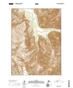
2020 · Chignik A-4 NE
USGS Topo · 1:25,000
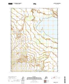
2020 · Chignik B-4 NE
USGS Topo · 1:25,000