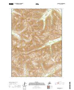
2020 Map of Chignik A-3 NW
USGS Topo · Published 2020About this map
Alaska Peninsula terrain dominates this 2020 topographic survey, revealing the remote and unpopulated landscape within the Lake and Peninsula Borough. The map is defined by its dramatic elevation changes and glacial drainage patterns, particularly the headwaters and tributaries of the W Fork Chignik River. This area serves as a critical watershed for the region, where seasonal meltwater flows from high ridges into the Clark River and through deep incisions like Bearskin Gulch. The lack of human infrastructure, roads, or settlements highlights the isolation of this portion of the peninsula, which is primarily partitioned by township and range lines such as t46s r62w and t45s r61w. This detail is useful for understanding the hydrologic connectivity of the Alaskan wilderness before any modern development.
Find a feature on this map
10 named features on this map. Tap any name to fly to it.
Don’t see what you’re looking for? This feature index may not catch every label — zoom into the map to look around manually.
Map Details
Editions of this 2020 Chignik A-3 NW Map
This is the sole edition of this map. No revisions or reprints were ever made.
Other maps of this area

1963 · Chignik A-4
USGS Topo · 1:63,360

1963 · Chignik B-4
USGS Topo · 1:63,360

1963 · Chignik A-3
USGS Topo · 1:63,360

1963 · Chignik B-3
USGS Topo · 1:63,360

1963 · Chignik
USGS Topo · 1:250,000
2020 · Chignik A-3 SW
USGS Topo · 1:25,000
2020 · Chignik B-3 SE
USGS Topo · 1:25,000
2020 · Chignik A-4 NE
USGS Topo · 1:25,000
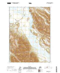
2020 · Chignik B-3 SW
USGS Topo · 1:25,000
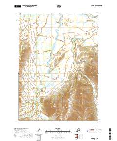
2020 · Chignik B-4 SE
USGS Topo · 1:25,000