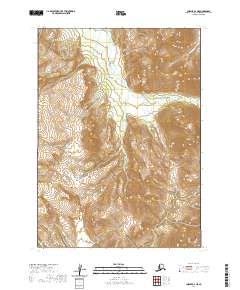
2020 Map of Chignik A-4 NE
USGS Topo · Published 2020About this map
The Alaska Peninsula serves as the backdrop for this topographic study, where dramatic elevation changes define the landscape. Waterways like the W Fork Chignik River carve through the terrain, illustrating the natural drainage patterns of this remote region. The map provides a look at the geographic isolation of the area, punctuated by features such as Bearskin Gulch and Bearskin Cr. These landmarks, though sparse, offer a clear picture of the hydrological and topographical reality of the peninsula during this era of 21st-century mapping. The presence of the Public Land Survey System grid highlights the systematic division of this wilderness into townships and ranges, providing a framework for understanding the vast, uninhabited stretches of land that characterize this part of Alaska.
Find a feature on this map
10 named features on this map. Tap any name to fly to it.
Don’t see what you’re looking for? This feature index may not catch every label — zoom into the map to look around manually.
Map Details
Editions of this 2020 Chignik A-4 NE Map
This is the sole edition of this map. No revisions or reprints were ever made.
Other maps of this area

1963 · Chignik A-4
USGS Topo · 1:63,360

1963 · Chignik B-4
USGS Topo · 1:63,360

1963 · Chignik A-3
USGS Topo · 1:63,360

1963 · Chignik B-3
USGS Topo · 1:63,360

1963 · Chignik
USGS Topo · 1:250,000
2020 · Chignik A-3 SW
USGS Topo · 1:25,000
2020 · Chignik B-4 SW
USGS Topo · 1:25,000
2020 · Chignik A-3 NW
USGS Topo · 1:25,000
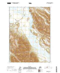
2020 · Chignik B-3 SW
USGS Topo · 1:25,000
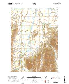
2020 · Chignik B-4 SE
USGS Topo · 1:25,000