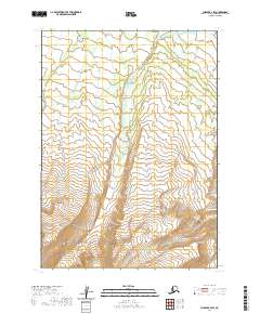
2020 Map of Chignik B-4 SW
USGS Topo · Published 2020About this map
The Aleutian Range dominates the southern portion of this landscape, rising sharply on the Alaska Peninsula. This 2020 survey illustrates the transition from the high peaks of the range toward the Nulato Hills to the north. The area is defined by its drainage patterns, primarily characterized by Rapid Cr which winds through the center of the sheet, and Blueberry Cr flowing along the western edge. Given the absence of roads or established settlements, the map provides a clear picture of the natural topography and hydrologic features that dictate travel and survival in this portion of the Lake and Peninsula Borough. It is an essential document for understanding the physical geography of the peninsula at the start of the 2020s.
Find a feature on this map
9 named features on this map. Tap any name to fly to it.
Don’t see what you’re looking for? This feature index may not catch every label — zoom into the map to look around manually.
Map Details
Editions of this 2020 Chignik B-4 SW Map
This is the sole edition of this map. No revisions or reprints were ever made.
Other maps of this area

1963 · Chignik A-4
USGS Topo · 1:63,360

1963 · Chignik B-5
USGS Topo · 1:63,360

1963 · Chignik B-4
USGS Topo · 1:63,360

1963 · Chignik A-5
USGS Topo · 1:63,360

1963 · Chignik
USGS Topo · 1:250,000
2020 · Chignik B-5 NE
USGS Topo · 1:25,000
2020 · Chignik B-5 SE
USGS Topo · 1:25,000
2020 · Chignik A-4 NE
USGS Topo · 1:25,000
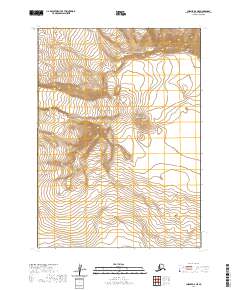
2020 · Chignik A-5 NE
USGS Topo · 1:25,000
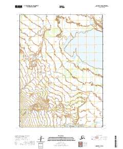
2020 · Chignik B-4 NE
USGS Topo · 1:25,000