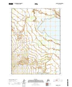
2020 Map of Chignik B-4 NE
USGS Topo · Published 2020About this map
Black Lake dominates the upper reaches of this remote Alaska Peninsula landscape, its waters reaching into the northeast corner of the quadrangle. The hydrology of the region is defined by the braided path of the West Fork Chignik River, which flows through the southern lowlands. These water bodies, along with Crater Cr, serve as the primary landmarks in an area otherwise defined by the systematic grid of the Public Land Survey System, including townships t43s r62w and t44s r62w. The lack of named roads or settlements underscores the untouched character of this terrain, where the movement of water across the flats remains the most significant geographic feature.
Find a feature on this map
9 named features on this map. Tap any name to fly to it.
Don’t see what you’re looking for? This feature index may not catch every label — zoom into the map to look around manually.
Map Details
Editions of this 2020 Chignik B-4 NE Map
This is the sole edition of this map. No revisions or reprints were ever made.
Other maps of this area

1963 · Chignik C-3
USGS Topo · 1:63,360

1963 · Chignik C-4
USGS Topo · 1:63,360

1963 · Chignik B-4
USGS Topo · 1:63,360

1963 · Chignik B-3
USGS Topo · 1:63,360

1963 · Chignik
USGS Topo · 1:250,000
2020 · Chignik B-4 SW
USGS Topo · 1:25,000
2020 · Chignik C-4 SW
USGS Topo · 1:25,000
2020 · Chignik C-3 SW
USGS Topo · 1:25,000
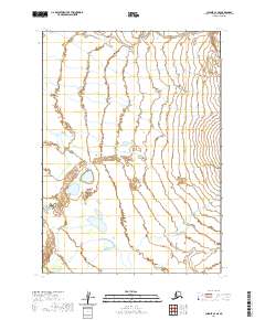
2020 · Chignik C-4 SE
USGS Topo · 1:25,000
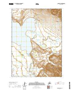
2020 · Chignik B-3 NW
USGS Topo · 1:25,000