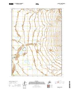
2020 Map of Chignik C-4 SE
USGS Topo · Published 2020About this map
Alaska Peninsula terrain dominates this coastal region, where the Unangashak River meanders across a wide, low-lying drainage basin. This 2020 survey illustrates the hydrographic network of the peninsula's Pacific side, notably the braided flow of Crater Cr as it descends toward the coast. The landscape is characterized by its hydrological features rather than human settlement, showing the natural state of the land within the t41s r63w and t42s r62w townships. For researchers of the Aleutian Range and its foothills, the map provides precise data on watercourses and land boundaries in this secluded portion of the Lake and Peninsula Borough.
Find a feature on this map
7 named features on this map. Tap any name to fly to it.
Don’t see what you’re looking for? This feature index may not catch every label — zoom into the map to look around manually.
Map Details
Editions of this 2020 Chignik C-4 SE Map
This is the sole edition of this map. No revisions or reprints were ever made.
Other maps of this area

1963 · Chignik C-3
USGS Topo · 1:63,360

1963 · Chignik C-4
USGS Topo · 1:63,360

1963 · Chignik B-4
USGS Topo · 1:63,360

1963 · Chignik B-3
USGS Topo · 1:63,360

1963 · Chignik
USGS Topo · 1:250,000
2020 · Chignik C-4 SW
USGS Topo · 1:25,000
2020 · Chignik C-3 SW
USGS Topo · 1:25,000
2020 · Chignik B-3 NW
USGS Topo · 1:25,000
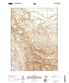
2020 · Chignik C-3 NW
USGS Topo · 1:25,000
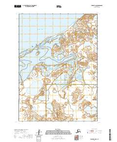
2020 · Chignik C-4 NW
USGS Topo · 1:25,000