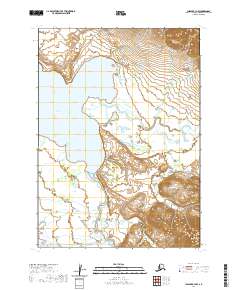
2020 Map of Chignik B-3 NW
USGS Topo · Published 2020About this map
Black Lake dominates the northwestern portion of this Alaskan landscape, serving as a primary hydrologic hub for a complex network of glacial and mountain streams. The terrain is defined by the significant braided drainage of the Alec River and Milk Cr, which flow through the broad valleys between the high ridges of the Lake and Peninsula Borough. To the south, the Chignik River and its W Fork Chignik River wind through the lowlands, joined by tributaries such as Chiaktuak Cr. This 2020 survey illustrates a wilderness defined by water and elevation, where seasonal runoff from unnamed peaks feeds into the Fan Cr system, illustrating the intricate natural irrigation of this remote coastal region.
Find a feature on this map
13 named features on this map. Tap any name to fly to it.
Don’t see what you’re looking for? This feature index may not catch every label — zoom into the map to look around manually.
Map Details
Editions of this 2020 Chignik B-3 NW Map
This is the sole edition of this map. No revisions or reprints were ever made.
Other maps of this area

1963 · Chignik C-3
USGS Topo · 1:63,360

1963 · Chignik C-4
USGS Topo · 1:63,360

1963 · Chignik B-4
USGS Topo · 1:63,360

1963 · Chignik B-3
USGS Topo · 1:63,360

1963 · Chignik
USGS Topo · 1:250,000
2020 · Chignik C-3 SW
USGS Topo · 1:25,000
2020 · Chignik C-4 SE
USGS Topo · 1:25,000
2020 · Chignik B-3 SE
USGS Topo · 1:25,000
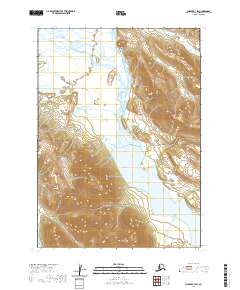
2020 · Chignik B-3 SW
USGS Topo · 1:25,000
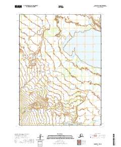
2020 · Chignik B-4 NE
USGS Topo · 1:25,000