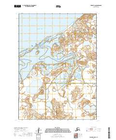
2020 Map of Chignik C-4 NW
USGS Topo · Published 2020About this map
Bristol Bay dominates the northern horizon of this coastal reach, where the shifting wetlands and tidal flats meet the open water. The landscape is defined by the Unangashak River, which winds northward through a network of small ponds and marshes before reaching the coast. To the west, the Seal Islands emerge from the intertidal zone, serving as a prominent landmark in an area otherwise characterized by low-lying hydrologic features. This 2020 survey documents the complex boundary line where the Aleutians East Borough and Lake and Peninsula Borough meet, cutting through the interior wilderness south of the bay. The pattern of drainage and the expansive wetland systems suggest a terrain almost entirely shaped by seasonal water movement and coastal processes.
Find a feature on this map
8 named features on this map. Tap any name to fly to it.
Don’t see what you’re looking for? This feature index may not catch every label — zoom into the map to look around manually.
Map Details
Editions of this 2020 Chignik C-4 NW Map
This is the sole edition of this map. No revisions or reprints were ever made.
Other maps of this area

1963 · Chignik C-4
USGS Topo · 1:63,360
1963 · Chignik D-4
USGS Topo · 1:63,360

1963 · Chignik C-5
USGS Topo · 1:63,360

1963 · Chignik
USGS Topo · 1:250,000
2020 · Chignik C-4 SW
USGS Topo · 1:25,000
2020 · Chignik C-4 SE
USGS Topo · 1:25,000
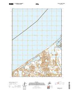
2020 · Chignik D-4 SE
USGS Topo · 1:25,000
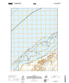
2020 · Chignik C-5 NE
USGS Topo · 1:25,000
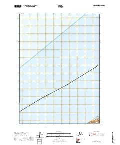
2020 · Chignik D-4 SW
USGS Topo · 1:25,000
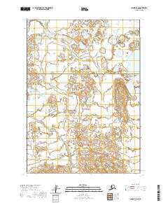
2020 · Chignik C-5 SE
USGS Topo · 1:25,000