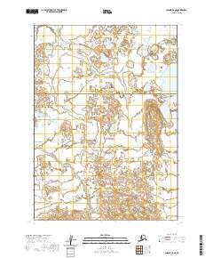
2020 Map of Chignik C-5 SE
USGS Topo · Published 2020About this map
The Alaska Peninsula landscape dominates this 2020 study, revealing a complex network of wetlands and small water bodies that define the remote coastal interior. The terrain is marked by a high density of small, unnamed ponds and intricate hydrologic patterns typical of this subarctic region. A significant administrative division runs through the center of the sheet, where the Aleutians East Borough meets the Lake and Peninsula Borough. This boundary transition highlights the vast, largely unsettled nature of the territory, where surveying is defined by the Public Land Survey System grids of t41s r65w, t41s r64w, t42s r65w, and t42s r64w. The map serves as a primary record of the physical geography and jurisdictional boundaries in a wilderness area with no established road networks or permanent settlements.
Find a feature on this map
6 named features on this map. Tap any name to fly to it.
Don’t see what you’re looking for? This feature index may not catch every label — zoom into the map to look around manually.
Map Details
Editions of this 2020 Chignik C-5 SE Map
This is the sole edition of this map. No revisions or reprints were ever made.
Other maps of this area

1963 · Chignik C-4
USGS Topo · 1:63,360

1963 · Chignik B-5
USGS Topo · 1:63,360

1963 · Chignik B-4
USGS Topo · 1:63,360

1963 · Chignik C-5
USGS Topo · 1:63,360

1963 · Chignik
USGS Topo · 1:250,000
2020 · Chignik B-5 NE
USGS Topo · 1:25,000
2020 · Chignik C-4 SW
USGS Topo · 1:25,000
2020 · Chignik C-4 NW
USGS Topo · 1:25,000
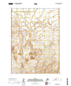
2020 · Chignik B-5 NW
USGS Topo · 1:25,000
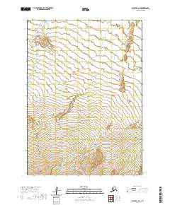
2020 · Chignik B-4 NW
USGS Topo · 1:25,000