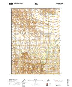
2020 Map of Chignik B-5 NE
USGS Topo · Published 2020About this map
The northern reaches of the Fireweed Cr and Frog Cr basins define this portion of the Lake and Peninsula Borough. Located within the Public Land Survey System grids of Township 42 South through 44 South, this territory is characterized by its hydrological network. The topography is meticulously documented by the U.S. Geological Survey using 2019 elevation data, revealing a landscape where small drainages gather and flow toward the coast. This map illustrates the natural state of the terrain in the early 21st century, showing no developed roads or permanent settlements in this specific interior quadrangle. It provides a foundational reference for understanding the geography of the Alaska Peninsula before any potential future developments or changes to the hydrography of these creek systems.
Find a feature on this map
8 named features on this map. Tap any name to fly to it.
Don’t see what you’re looking for? This feature index may not catch every label — zoom into the map to look around manually.
Map Details
Editions of this 2020 Chignik B-5 NE Map
This is the sole edition of this map. No revisions or reprints were ever made.
Other maps of this area

1963 · Chignik C-4
USGS Topo · 1:63,360

1963 · Chignik B-5
USGS Topo · 1:63,360

1963 · Chignik B-4
USGS Topo · 1:63,360

1963 · Chignik C-5
USGS Topo · 1:63,360

1963 · Chignik
USGS Topo · 1:250,000
2020 · Chignik B-4 SW
USGS Topo · 1:25,000
2020 · Chignik C-4 SW
USGS Topo · 1:25,000
2020 · Chignik B-5 SE
USGS Topo · 1:25,000
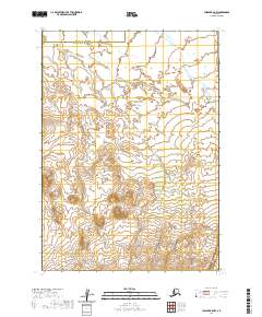
2020 · Chignik B-5 NW
USGS Topo · 1:25,000
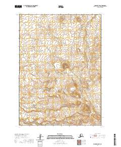
2020 · Chignik B-5 SW
USGS Topo · 1:25,000