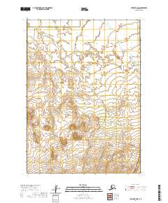
2020 Map of Chignik B-5 NW
USGS Topo · Published 2020About this map
Ilnik River winds through the low-lying coastal tundra of the Alaska Peninsula in this recent survey. The landscape is defined by the hydrological patterns of the Ocean River and the small drainage of Fog Cr, where the shifting wetlands and narrow watercourses create a complex network across the maritime plain. Spanning the boundary between the Aleutians East Borough and Lake and Peninsula Borough, this remote terrain is largely devoid of permanent human structures or infrastructure. Instead, the map documents the natural hydrology and elevation contours of the region, providing a baseline for environmental study and a look at the untouched wilderness of the southwestern coast.
Find a feature on this map
10 named features on this map. Tap any name to fly to it.
Don’t see what you’re looking for? This feature index may not catch every label — zoom into the map to look around manually.
Map Details
Editions of this 2020 Chignik B-5 NW Map
This is the sole edition of this map. No revisions or reprints were ever made.
Other maps of this area

1963 · Chignik B-5
USGS Topo · 1:63,360

1963 · Chignik B-6
USGS Topo · 1:63,360
1963 · Chignik C-6
USGS Topo · 1:63,360

1963 · Chignik C-5
USGS Topo · 1:63,360

1963 · Chignik
USGS Topo · 1:250,000
2020 · Chignik C-6 SE
USGS Topo · 1:25,000
2020 · Chignik B-5 NE
USGS Topo · 1:25,000
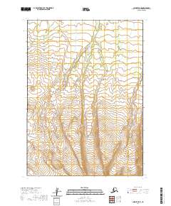
2020 · Chignik B-5 SE
USGS Topo · 1:25,000
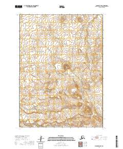
2020 · Chignik B-5 SW
USGS Topo · 1:25,000
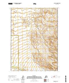
2020 · Chignik B-6 SE
USGS Topo · 1:25,000