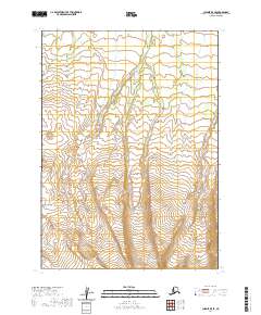
2020 Map of Chignik B-5 SE
USGS Topo · Published 2020About this map
The Aleutian Range dominates this portion of the Alaska Peninsula, showcasing a landscape defined by extreme relief and glacial drainage. This 2020 survey by the U.S. Geological Survey reveals a network of high-elevation creek systems, including Fireweed Cr and Blueberry Cr, which carve through the steep terrain. Further south, Fox Cr flows through lower elevations, tracing the natural contours of the peninsula's spine. The map provides a precise look at the township and range divisions, including t45s r65w and t44s r64w, marking out a largely unpopulated wilderness where the geography itself remains the primary feature of interest for researchers and topographical historians.
Find a feature on this map
10 named features on this map. Tap any name to fly to it.
Don’t see what you’re looking for? This feature index may not catch every label — zoom into the map to look around manually.
Map Details
Editions of this 2020 Chignik B-5 SE Map
This is the sole edition of this map. No revisions or reprints were ever made.
Other maps of this area

1963 · Chignik A-4
USGS Topo · 1:63,360

1963 · Chignik B-5
USGS Topo · 1:63,360

1963 · Chignik B-4
USGS Topo · 1:63,360

1963 · Chignik A-5
USGS Topo · 1:63,360

1963 · Chignik
USGS Topo · 1:250,000
2020 · Chignik B-4 SW
USGS Topo · 1:25,000
2020 · Chignik B-5 NE
USGS Topo · 1:25,000
2020 · Chignik A-5 NE
USGS Topo · 1:25,000
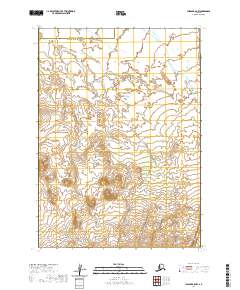
2020 · Chignik B-5 NW
USGS Topo · 1:25,000
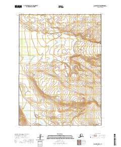
2020 · Chignik A-5 NW
USGS Topo · 1:25,000