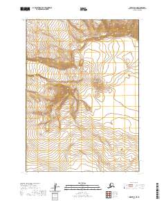
2020 Map of Chignik A-5 NE
USGS Topo · Published 2020About this map
Mt Veniaminof dominates this high-latitude terrain within the Alaska Peninsula, a landscape shaped by active glaciation and volcanic geology. Several glacial systems carve through the peaks, including the expansive ice of Fog Glacier and the distinct flows of Slim Glacier and Cone Glacier. This map documents the remote glacial recession and topographic state of the region in the early 21st century. The map is devoid of human settlements, roads, or infrastructure, serving instead as a record of pure geological features and wilderness boundaries within the Lake and Peninsula Borough. The survey provides precise contouring of the volcanic slopes and the icy tongues that feed the surrounding watershed.
Find a feature on this map
14 named features on this map. Tap any name to fly to it.
Don’t see what you’re looking for? This feature index may not catch every label — zoom into the map to look around manually.
Map Details
Editions of this 2020 Chignik A-5 NE Map
This is the sole edition of this map. No revisions or reprints were ever made.
Other maps of this area

1963 · Chignik A-4
USGS Topo · 1:63,360

1963 · Chignik B-5
USGS Topo · 1:63,360

1963 · Chignik B-4
USGS Topo · 1:63,360

1963 · Chignik A-5
USGS Topo · 1:63,360

1963 · Chignik
USGS Topo · 1:250,000
2020 · Chignik B-4 SW
USGS Topo · 1:25,000
2020 · Chignik B-5 SE
USGS Topo · 1:25,000
2020 · Chignik A-5 SW
USGS Topo · 1:25,000
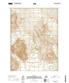
2020 · Chignik A-5 SE
USGS Topo · 1:25,000
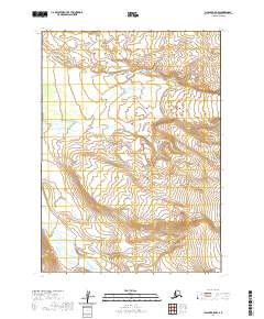
2020 · Chignik A-5 NW
USGS Topo · 1:25,000