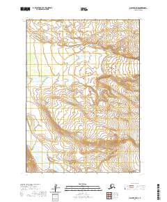
2020 Map of Chignik A-5 NW
USGS Topo · Published 2020About this map
Muddy River winds through this interior portion of the Alaska Peninsula, defining the central drainage of a landscape primarily structured by the Public Land Survey System. This 2020 topographic study captures a remote environment where the terrain rises from the river valley into significant elevations, including portions of township T45S through T47S. The map serves as a modern record of the hydrological and topographic character of the Lake and Peninsula Borough, documenting the flow of the Muddy River before it reaches coastal waters. While largely unsettled by permanent infrastructure, the area is defined by its natural topography and the surveyed grid lines that demarcate these vast Alaskan tracts.
Find a feature on this map
8 named features on this map. Tap any name to fly to it.
Don’t see what you’re looking for? This feature index may not catch every label — zoom into the map to look around manually.
Map Details
Editions of this 2020 Chignik A-5 NW Map
This is the sole edition of this map. No revisions or reprints were ever made.
Other maps of this area

1963 · Chignik A-6
USGS Topo · 1:63,360

1963 · Chignik B-5
USGS Topo · 1:63,360

1963 · Chignik B-6
USGS Topo · 1:63,360

1963 · Chignik A-5
USGS Topo · 1:63,360

1963 · Chignik
USGS Topo · 1:250,000
2020 · Chignik B-5 SE
USGS Topo · 1:25,000
2020 · Chignik A-5 SW
USGS Topo · 1:25,000
2020 · Chignik A-5 NE
USGS Topo · 1:25,000
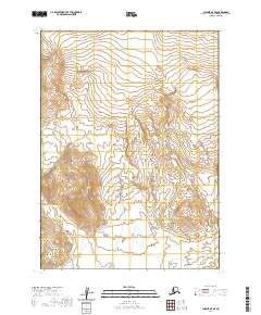
2020 · Chignik A-5 SE
USGS Topo · 1:25,000
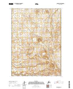
2020 · Chignik B-5 SW
USGS Topo · 1:25,000