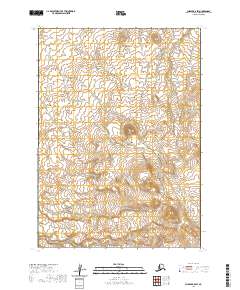
2020 Map of Chignik B-5 SW
USGS Topo · Published 2020About this map
The Alaska Peninsula presents a remote and water-defined landscape in this modern topographic study of the Chignik B-5 SW quadrangle. The drainage pattern is dominated by the Ilnik River, which flows through the northern reaches of the sheet, supported by a network of smaller tributaries including Fracture Cr and Fog Cr. These glacial and snow-melt fed streams carve through the terrain, illustrating the hydrologic character of the Lake and Peninsula Borough. While devoid of named settlements or man-made structures, the map detail focuses on the precise elevation contours and the natural flow of water towards the coast, providing a vital record of the land's surface before potential future shifts in the subarctic environment.
Find a feature on this map
8 named features on this map. Tap any name to fly to it.
Don’t see what you’re looking for? This feature index may not catch every label — zoom into the map to look around manually.
Map Details
Editions of this 2020 Chignik B-5 SW Map
This is the sole edition of this map. No revisions or reprints were ever made.
Other maps of this area

1963 · Chignik A-6
USGS Topo · 1:63,360

1963 · Chignik B-5
USGS Topo · 1:63,360

1963 · Chignik B-6
USGS Topo · 1:63,360

1963 · Chignik A-5
USGS Topo · 1:63,360

1963 · Chignik
USGS Topo · 1:250,000
2020 · Chignik B-5 NE
USGS Topo · 1:25,000
2020 · Chignik B-5 SE
USGS Topo · 1:25,000
2020 · Chignik A-5 NE
USGS Topo · 1:25,000
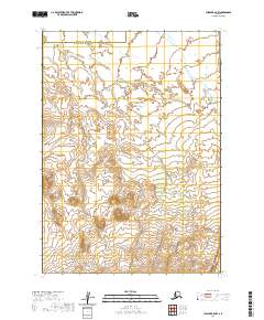
2020 · Chignik B-5 NW
USGS Topo · 1:25,000
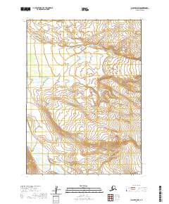
2020 · Chignik A-5 NW
USGS Topo · 1:25,000