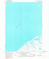
1963 Map of Chignik C-6
USGS Topo · Published 1967About this map
Bristol Bay dominates this coastal survey, where the saltwater of the North Pacific meets the marshy lowlands of the Alaska Peninsula. The topography, mapped from aerial photographs taken between 1957 and 1962, reveals a complex hydrologic network of unnamed wetlands and small coastal streams. A notable exception is the Ocean River, which drains through a landscape of low-lying relief and swampy basins into the sea. Inland from the coastline, Ilnik Lake and the distinctive Three Hills provide the primary navigational and geographic markers in an otherwise unpopulated wilderness. This map provides a clear picture of the peninsula's natural shoreline before later environmental changes, capturing the raw geography of the Chignik C-6 quadrangle as it stood in the early 1960s.
Find a feature on this map
4 named features on this map. Tap any name to fly to it.
Don’t see what you’re looking for? This feature index may not catch every label — zoom into the map to look around manually.
Map Details
Editions of this 1963 Chignik C-6 Map
2 editions found
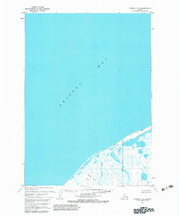
Other maps of this area
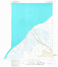
1963 · Chignik B-7
USGS Topo · 1:63,360

1963 · Chignik B-5
USGS Topo · 1:63,360

1963 · Chignik B-6
USGS Topo · 1:63,360

1963 · Chignik C-5
USGS Topo · 1:63,360

1963 · Chignik
USGS Topo · 1:250,000
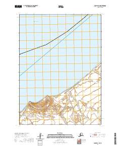
2020 · Chignik B-7 NE
USGS Topo · 1:25,000
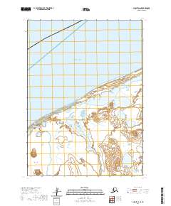
2020 · Chignik C-6 SE
USGS Topo · 1:25,000
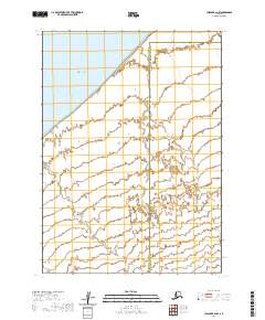
2020 · Chignik B-6 NW
USGS Topo · 1:25,000
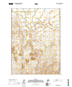
2020 · Chignik B-5 NW
USGS Topo · 1:25,000
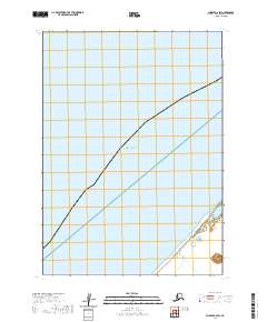
2020 · Chignik C-6 SW
USGS Topo · 1:25,000