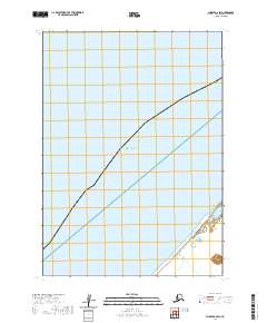
2020 Map of Chignik C-6 SW
USGS Topo · Published 2020About this map
Bristol Bay dominates this coastal survey, where the waters meet the southeastern shores of the Alaska Peninsula in the Aleutians East Borough. The geography is defined primarily by its maritime interface and the rectilinear organization of the Public Land Survey System, including T42s R68w and T42s R67w. This 2020 edition provides a clear record of the coastline as it stood in the early 21st century, showing the subtle shifts of the shoreline and the vast tidal reaches characteristic of this subarctic region. While the interior remains largely undeveloped, the map serves as a vital record for maritime history and environmental change along this remote stretch of the Alaska coast.
Find a feature on this map
3 named features on this map. Tap any name to fly to it.
Don’t see what you’re looking for? This feature index may not catch every label — zoom into the map to look around manually.
Map Details
Editions of this 2020 Chignik C-6 SW Map
This is the sole edition of this map. No revisions or reprints were ever made.
Other maps of this area
1963 · Chignik B-7
USGS Topo · 1:63,360

1963 · Chignik B-6
USGS Topo · 1:63,360
1963 · Chignik C-6
USGS Topo · 1:63,360

1963 · Chignik
USGS Topo · 1:250,000
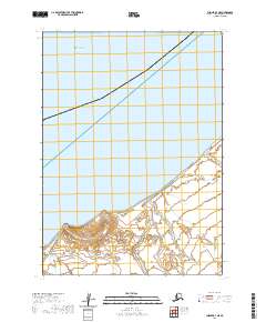
2020 · Chignik B-7 NE
USGS Topo · 1:25,000
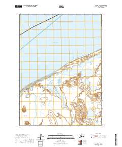
2020 · Chignik C-6 SE
USGS Topo · 1:25,000
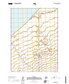
2020 · Chignik B-6 NW
USGS Topo · 1:25,000
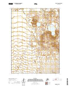
2020 · Chignik B-6 NE
USGS Topo · 1:25,000