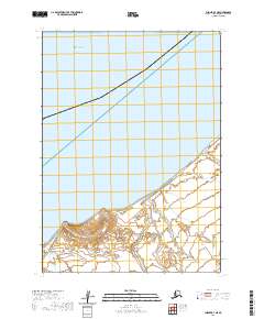
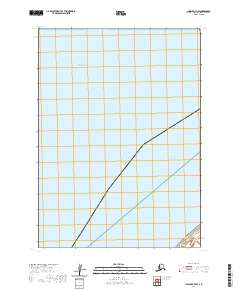
2020 Map of Chignik B-7 NE
USGS Topo · Published 2020About this map
Cape Seniavin marks a prominent point along the southern shoreline of Bristol Bay on this Aleutian coastal survey. The terrain transitions from the open waters of the bay to a coastal plain defined by intricate wetland systems and subtle elevation changes as one moves inland. This 2020 edition provides a clear look at the maritime boundary and the topography of the Alaska Peninsula, where the landscape is largely shaped by the natural forces of the Bering Sea. Geographic markers such as t44s r69w and t43s r68w define the public land survey system grid across this remote stretch of the Aleutians East Borough. The map focuses on the interface between the tidal flats and the upland reaches, documenting the shifting character of the coastline in this undeveloped region.
Find a feature on this map
8 named features on this map. Tap any name to fly to it.
Don’t see what you’re looking for? This feature index may not catch every label — zoom into the map to look around manually.
Map Details
Editions of this 2020 Chignik B-7 NE Map
This is the sole edition of this map. No revisions or reprints were ever made.
Other maps of this area
1963 · Chignik B-7
USGS Topo · 1:63,360

1963 · Chignik B-6
USGS Topo · 1:63,360
1963 · Chignik C-6
USGS Topo · 1:63,360

1963 · Chignik
USGS Topo · 1:250,000
2020 · Chignik B-7 SW
USGS Topo · 1:25,000
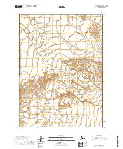
2020 · Chignik B-7 SE
USGS Topo · 1:25,000
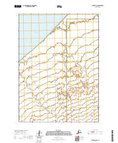
2020 · Chignik B-6 NW
USGS Topo · 1:25,000
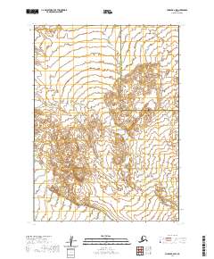
2020 · Chignik B-6 SW
USGS Topo · 1:25,000
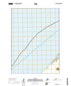
2020 · Chignik C-6 SW
USGS Topo · 1:25,000
2020 · Chignik B-7 NW
USGS Topo · 1:25,000