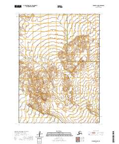
2020 Map of Chignik B-6 SW
USGS Topo · Published 2020About this map
Muddy River meanders through this portion of the Alaska Peninsula, defining a landscape where water and terrain dictate the boundaries of human organization. The 2020 survey illustrates a sparsely settled region primarily characterized by its natural drainage patterns and the administrative division between the Aleutians East Borough and the Lake and Peninsula Borough. This map captures the intricate topographic detail of the peninsula's interior, showing how the river system interacts with the surrounding landforms within the townships of t45s r69w and t45s r68w. For researchers, the map provides a precise record of the borough line as it traverses this remote area, offering a foundational view of the geographic limits between these two significant Alaskan jurisdictions.
Find a feature on this map
7 named features on this map. Tap any name to fly to it.
Don’t see what you’re looking for? This feature index may not catch every label — zoom into the map to look around manually.
Map Details
Editions of this 2020 Chignik B-6 SW Map
This is the sole edition of this map. No revisions or reprints were ever made.
Other maps of this area

1963 · Chignik A-6
USGS Topo · 1:63,360
1963 · Chignik B-7
USGS Topo · 1:63,360

1963 · Chignik B-6
USGS Topo · 1:63,360

1963 · Chignik A-7
USGS Topo · 1:63,360

1963 · Chignik
USGS Topo · 1:250,000
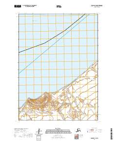
2020 · Chignik B-7 NE
USGS Topo · 1:25,000
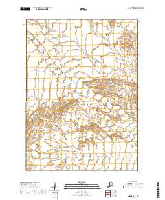
2020 · Chignik B-7 SE
USGS Topo · 1:25,000
2020 · Chignik A-7 NE
USGS Topo · 1:25,000
2020 · Chignik B-6 NW
USGS Topo · 1:25,000
2020 · Chignik B-6 SE
USGS Topo · 1:25,000