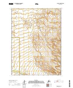
2020 Map of Chignik B-6 SE
USGS Topo · Published 2020About this map
The Alaska Peninsula dominates this 2020 landscape, where the terrestrial boundary of the Aleutians East Borough Lake and Peninsula Borough cuts across the western portion of the quadrangle. This area is defined by its dramatic topographic shifts, moving from low-lying coastal drainage systems to steep, complex interior ridges. In the northeastern corner, the headwaters of Fracture Cr emerge among the high contours, serving as a primary drainage for the surrounding slopes. The map detail reflects the region's characteristic lack of developed infrastructure, focusing instead on the precise delineation of township and range lines across several sections of public land. This record provides a clear look at the jurisdictional divisions and natural drainage patterns of this remote coastal province before any modern development.
Find a feature on this map
7 named features on this map. Tap any name to fly to it.
Don’t see what you’re looking for? This feature index may not catch every label — zoom into the map to look around manually.
Map Details
Editions of this 2020 Chignik B-6 SE Map
This is the sole edition of this map. No revisions or reprints were ever made.
Other maps of this area

1963 · Chignik A-6
USGS Topo · 1:63,360

1963 · Chignik B-5
USGS Topo · 1:63,360

1963 · Chignik B-6
USGS Topo · 1:63,360

1963 · Chignik A-5
USGS Topo · 1:63,360

1963 · Chignik
USGS Topo · 1:250,000
2020 · Chignik B-6 NW
USGS Topo · 1:25,000
2020 · Chignik B-6 SW
USGS Topo · 1:25,000
2020 · Chignik B-5 NW
USGS Topo · 1:25,000
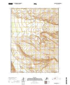
2020 · Chignik A-5 NW
USGS Topo · 1:25,000
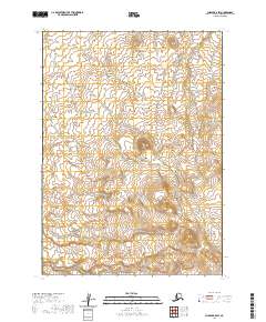
2020 · Chignik B-5 SW
USGS Topo · 1:25,000