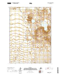
2020 Map of Chignik B-6 NE
USGS Topo · Published 2020About this map
Ocean River winds through this remote stretch of the Alaska Peninsula, defining a landscape of wetlands and low-lying coastal drainage within the Lake and Peninsula Borough. The presence of Wildman Lake in the northeastern quadrant provides a significant hydrological anchor for the region, its shores nestled against rising terrain that transitions from the river valley to higher elevations in the east. This 2020 topographic study illustrates the shifting boundaries between the Lake and Peninsula and Aleutians East Borough, while tracing the course of Fracture Cr as it feeds into the broader basin. The map captures the complex hydrography of a subarctic wilderness where seasonal melt and maritime influence shape the movement of water across the tundra.
Find a feature on this map
10 named features on this map. Tap any name to fly to it.
Don’t see what you’re looking for? This feature index may not catch every label — zoom into the map to look around manually.
Map Details
Editions of this 2020 Chignik B-6 NE Map
This is the sole edition of this map. No revisions or reprints were ever made.
Other maps of this area

1963 · Chignik B-5
USGS Topo · 1:63,360

1963 · Chignik B-6
USGS Topo · 1:63,360
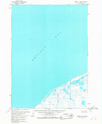
1963 · Chignik C-6
USGS Topo · 1:63,360

1963 · Chignik C-5
USGS Topo · 1:63,360

1963 · Chignik
USGS Topo · 1:250,000
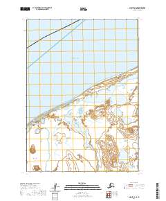
2020 · Chignik C-6 SE
USGS Topo · 1:25,000
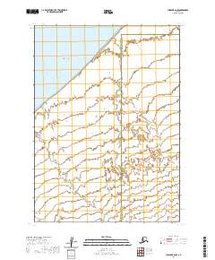
2020 · Chignik B-6 NW
USGS Topo · 1:25,000
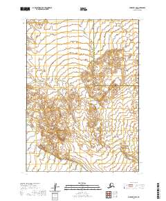
2020 · Chignik B-6 SW
USGS Topo · 1:25,000
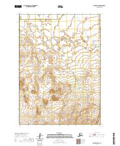
2020 · Chignik B-5 NW
USGS Topo · 1:25,000
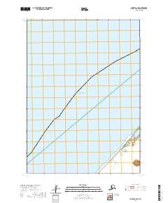
2020 · Chignik C-6 SW
USGS Topo · 1:25,000