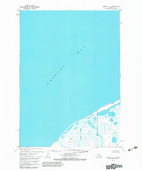
1963 Map of Chignik C-6
USGS Topo · Published 1983About this map
Bristol Bay dominates the northern expanse of this 1960s coastal survey, illustrating the maritime character of the Aleutian landscape before modern development. The map details the transition from the open sea to a complex coastal wetland system along the southern shore. This transition is marked by the winding course of the Ocean River, which flows through an intricate network of marshes and unnamed ponds. The inland topography is relatively flat, defined by subtle rises such as the Three Hills area. This document captures the wilderness state of the region during a period when the Bureau of Land Management was still determining unsurveyed and unmarked locations across the Alaska Maritime National Wildlife Refuge.
Find a feature on this map
3 named features on this map. Tap any name to fly to it.
Don’t see what you’re looking for? This feature index may not catch every label — zoom into the map to look around manually.
Map Details
Editions of this 1963 Chignik C-6 Map
2 editions found
Other maps of this area
1963 · Chignik B-7
USGS Topo · 1:63,360

1963 · Chignik B-5
USGS Topo · 1:63,360

1963 · Chignik B-6
USGS Topo · 1:63,360
1963 · Chignik C-6
USGS Topo · 1:63,360

1963 · Chignik C-5
USGS Topo · 1:63,360

1963 · Chignik
USGS Topo · 1:250,000
2020 · Chignik B-7 NE
USGS Topo · 1:25,000
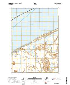
2020 · Chignik C-6 SE
USGS Topo · 1:25,000
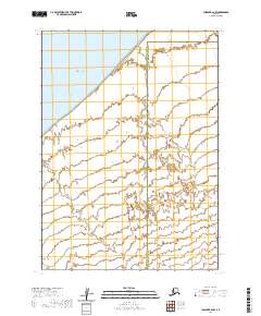
2020 · Chignik B-6 NW
USGS Topo · 1:25,000
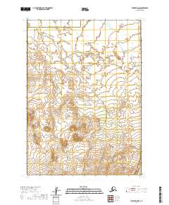
2020 · Chignik B-5 NW
USGS Topo · 1:25,000