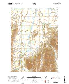
2020 Map of Chignik B-4 SE
USGS Topo · Published 2020About this map
Knife Peak dominates the southern reaches of this landscape, serving as a prominent high point in a region defined by dramatic vertical relief. This area of the Alaska Peninsula is characterized by its complex drainage systems, where the West Fork Chignik River and its tributary, the W Fork Chignik River, carve through the valleys. The map illustrates a wilderness largely untouched by development, focusing on the natural geography and watercourses like Bearskin Creek and its associated Bearskin Gulch. Geographers and naturalists can trace the riparian patterns of Rapid Cr as it flows through the northern sections, providing insight into the hydrologic connections that define the Lake and Peninsula Borough's interior.
Find a feature on this map
12 named features on this map. Tap any name to fly to it.
Don’t see what you’re looking for? This feature index may not catch every label — zoom into the map to look around manually.
Map Details
Editions of this 2020 Chignik B-4 SE Map
This is the sole edition of this map. No revisions or reprints were ever made.
Other maps of this area

1963 · Chignik A-4
USGS Topo · 1:63,360

1963 · Chignik B-4
USGS Topo · 1:63,360

1963 · Chignik A-3
USGS Topo · 1:63,360

1963 · Chignik B-3
USGS Topo · 1:63,360

1963 · Chignik
USGS Topo · 1:250,000
2020 · Chignik B-4 SW
USGS Topo · 1:25,000
2020 · Chignik A-3 NW
USGS Topo · 1:25,000
2020 · Chignik B-3 NW
USGS Topo · 1:25,000
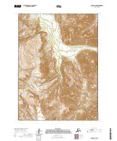
2020 · Chignik A-4 NE
USGS Topo · 1:25,000
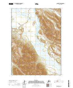
2020 · Chignik B-3 SW
USGS Topo · 1:25,000