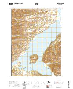
2020 Map of Chignik B-2 SW
USGS Topo · Published 2020About this map
Chignik Lagoon serves as the focal point of this coastal survey, where the settlement and its Chignik Lagoon Airport sit along the shoreline of Chignik Flats. The landscape is defined by a complex network of coastal features, including Jerrys Point and Packers Point, which overlook the northern reaches of the water. To the south, Chignik Island stands prominently near the confluence of Schooner Bay and Mallard Duck Bay. This 2020 data shows a maritime environment shaped by tidal flats and named drainage systems like Packers Cr and Old Ladies Cr. The orientation of First Street and the placement of the local Po provide specific points of interest for those researching the modern infrastructure of this Alaska Peninsula community. Landmarks such as Three Sisters Rock further differentiate the seafaring approaches to the lagoon.
Find a feature on this map
31 named features on this map. Tap any name to fly to it.
Don’t see what you’re looking for? This feature index may not catch every label — zoom into the map to look around manually.
Map Details
Editions of this 2020 Chignik B-2 SW Map
This is the sole edition of this map. No revisions or reprints were ever made.
Other maps of this area

1963 · Chignik B-2
USGS Topo · 1:63,360

1963 · Chignik A-2
USGS Topo · 1:63,360

1963 · Chignik A-3
USGS Topo · 1:63,360

1963 · Chignik B-3
USGS Topo · 1:63,360

1963 · Chignik
USGS Topo · 1:250,000
2020 · Chignik B-2 NE
USGS Topo · 1:25,000
2020 · Chignik A-2 NE
USGS Topo · 1:25,000
2020 · Chignik A-2 NW
USGS Topo · 1:25,000
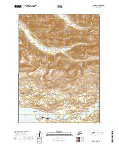
2020 · Chignik B-3 SE
USGS Topo · 1:25,000
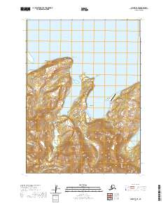
2020 · Chignik B-2 SE
USGS Topo · 1:25,000