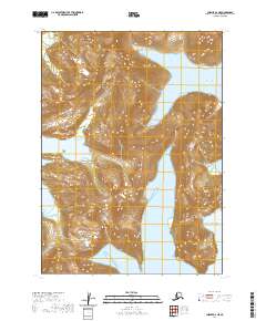
2020 Map of Chignik A-2 NE
USGS Topo · Published 2020About this map
Castle Bay and its northern Northwest Arm dominate the coastal topography of this section of the Alaska Peninsula, where the high peaks of the Aleutian Range meet the sea. The landscape is defined by deep fjords and maritime inlets, including the sheltered waters of Ross Cove and the wide opening of Warner Bay. These geological features illustrate the dramatic coastal indentations common to the region, providing vital natural harbors in an otherwise exposed environment.
Find a feature on this map
16 named features on this map. Tap any name to fly to it.
Don’t see what you’re looking for? This feature index may not catch every label — zoom into the map to look around manually.
Map Details
Editions of this 2020 Chignik A-2 NE Map
This is the sole edition of this map. No revisions or reprints were ever made.
Other maps of this area

1963 · Chignik B-2
USGS Topo · 1:63,360

1963 · Chignik B-1
USGS Topo · 1:63,360

1963 · Chignik A-2
USGS Topo · 1:63,360
1963 · Chignik A-1
USGS Topo · 1:63,360

1963 · Chignik
USGS Topo · 1:250,000
2020 · Chignik A-2 NW
USGS Topo · 1:25,000
2020 · Chignik A-2 SW
USGS Topo · 1:25,000
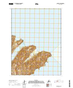
2020 · Chignik B-1 SW
USGS Topo · 1:25,000
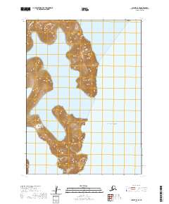
2020 · Chignik A-2 SE
USGS Topo · 1:25,000
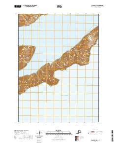
2020 · Chignik A-1 NW
USGS Topo · 1:25,000