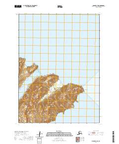
2020 Map of Chignik B-1 SW
USGS Topo · Published 2020About this map
The Alaska Peninsula shoreline defines this topographic study, where the peaks of the Aleutian Range meet the coastal waters of the Lake and Peninsula Borough. The landscape is characterized by its deep marine indentations, including the sheltered waters of Lake Bay, Jack Bay, and Lumber Bay. This 2020 record illustrates the intricate relationship between the mountainous interior and the complex coastline, marked notably by Jack Point and the transition toward Castle Bay to the south. The absence of roads or developed settlements highlights the remote character of this maritime wilderness during the early 21st century.
Find a feature on this map
10 named features on this map. Tap any name to fly to it.
Don’t see what you’re looking for? This feature index may not catch every label — zoom into the map to look around manually.
Map Details
Editions of this 2020 Chignik B-1 SW Map
This is the sole edition of this map. No revisions or reprints were ever made.
Other maps of this area

1963 · Chignik B-2
USGS Topo · 1:63,360

1963 · Chignik B-1
USGS Topo · 1:63,360

1963 · Chignik A-2
USGS Topo · 1:63,360
1963 · Chignik A-1
USGS Topo · 1:63,360

1963 · Chignik
USGS Topo · 1:250,000
2020 · Chignik B-2 NE
USGS Topo · 1:25,000
2020 · Chignik A-2 NE
USGS Topo · 1:25,000
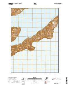
2020 · Chignik A-1 NW
USGS Topo · 1:25,000
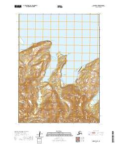
2020 · Chignik B-2 SE
USGS Topo · 1:25,000
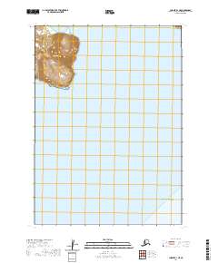
2020 · Chignik B-1 NE
USGS Topo · 1:25,000