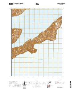
2020 Map of Chignik A-1 NW
USGS Topo · Published 2020About this map
The Alaska Peninsula and the rising peaks of the Aleutian Range dominate this coastal survey within the Lake and Peninsula Borough. Dramatic bathymetry and shoreline contours define the deep inlet of Castle Bay and its northern branch, Northwest Arm Castle Bay. This map documents a wilderness landscape where the terrestrial massif meets the open Gulf of Alaska. The survey illustrates the complex relationship between the glaciated topography of the peninsula and the sea, focusing on the uninhabited coastal inlets and the structural township and range divisions of the Public Land Survey System that organize this expansive territory.
Find a feature on this map
11 named features on this map. Tap any name to fly to it.
Don’t see what you’re looking for? This feature index may not catch every label — zoom into the map to look around manually.
Map Details
Editions of this 2020 Chignik A-1 NW Map
This is the sole edition of this map. No revisions or reprints were ever made.
Other maps of this area

1963 · Chignik B-2
USGS Topo · 1:63,360

1963 · Chignik B-1
USGS Topo · 1:63,360

1963 · Chignik A-2
USGS Topo · 1:63,360
1963 · Chignik A-1
USGS Topo · 1:63,360

1963 · Chignik
USGS Topo · 1:250,000
2020 · Chignik A-2 NE
USGS Topo · 1:25,000
2020 · Chignik B-1 SW
USGS Topo · 1:25,000
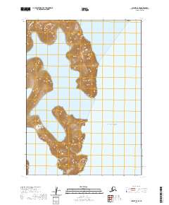
2020 · Chignik A-2 SE
USGS Topo · 1:25,000
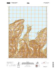
2020 · Chignik B-2 SE
USGS Topo · 1:25,000
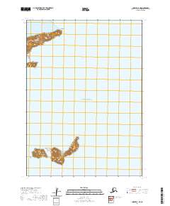
2020 · Chignik A-1 NE
USGS Topo · 1:25,000