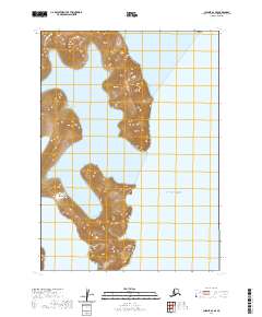
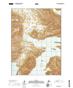
2020 Map of Chignik A-2 SE
USGS Topo · Published 2020About this map
Devils Bay and Seal Bay indent the shoreline of the Alaska Peninsula in this coastal survey, where steep terrain meets the open waters of the Gulf of Alaska. The landscape is defined by dramatic elevation changes, with contours rising sharply from the sea to inland peaks. This particular area, situated within the Lake and Peninsula Borough, showcases the maritime character of the region where narrow inlets provide the only breaks in the high-relief coastline. The map serves as a record of the remote shoreline before any significant modern infrastructure or inland development, focusing on the natural hydrography and the Public Land Survey System divisions of T47S and T48S.
Find a feature on this map
7 named features on this map. Tap any name to fly to it.
Don’t see what you’re looking for? This feature index may not catch every label — zoom into the map to look around manually.
Map Details
Editions of this 2020 Chignik A-2 SE Map
This is the sole edition of this map. No revisions or reprints were ever made.
Other maps of this area

1951 · Stepovak Bay
USGS Topo · 1:250,000

1963 · Stepovak Bay D-2
USGS Topo · 1:63,360

1963 · Chignik A-2
USGS Topo · 1:63,360
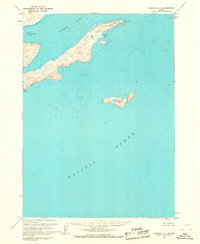
1963 · Chignik A-1
USGS Topo · 1:63,360

1963 · Chignik
USGS Topo · 1:250,000

1963 · Stepovak Bay
USGS Topo · 1:250,000

1969 · Stepovak Bay
USGS Topo · 1:250,000
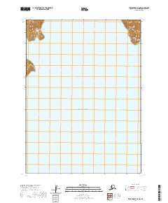
2020 · Stepovak Bay D-2 NW
USGS Topo · 1:25,000
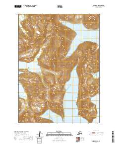
2020 · Chignik A-2 NE
USGS Topo · 1:25,000
2020 · Chignik A-2 NW
USGS Topo · 1:25,000