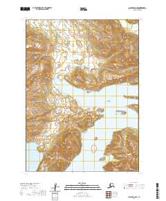
2020 Map of Chignik A-2 NW
USGS Topo · Published 2020About this map
Portage Bay dominates the central portion of this coastal landscape on the Alaska Peninsula, serving as a significant waterway between the high ridgelines of the Lake and Peninsula Borough. The terrain is characterized by steep elevation changes and drainage networks like Metrofanis Cr to the north and Spoon Cr further south, both of which feed into the primary bay or nearby Windy Bay. The absence of roads or established settlements on this USGS sheet reflects the preservation of the maritime and mountain wilderness during the early twenty-first century. For those studying the geography of the Aleutian Range, the map provides precise land divisions including township boundaries for t46s r60w and t46s r59w, illustrating the systematic surveying of this isolated coastline.
Find a feature on this map
10 named features on this map. Tap any name to fly to it.
Don’t see what you’re looking for? This feature index may not catch every label — zoom into the map to look around manually.
Map Details
Editions of this 2020 Chignik A-2 NW Map
This is the sole edition of this map. No revisions or reprints were ever made.
Other maps of this area

1963 · Chignik B-2
USGS Topo · 1:63,360

1963 · Chignik A-2
USGS Topo · 1:63,360

1963 · Chignik A-3
USGS Topo · 1:63,360

1963 · Chignik B-3
USGS Topo · 1:63,360

1963 · Chignik
USGS Topo · 1:250,000
2020 · Chignik A-2 NE
USGS Topo · 1:25,000
2020 · Chignik A-2 SW
USGS Topo · 1:25,000
2020 · Chignik A-2 SE
USGS Topo · 1:25,000
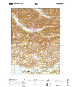
2020 · Chignik B-3 SE
USGS Topo · 1:25,000
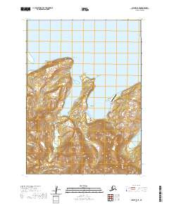
2020 · Chignik B-2 SE
USGS Topo · 1:25,000