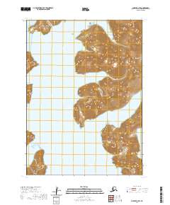
2020 Map of Chignik A-2 SW
USGS Topo · Published 2020About this map
Virgin Peak stands as the primary landmark on this coastal Alaskan terrain, rising above a deeply indented shoreline defined by the waters of Kuiukta Bay. The map documents a landscape where the Pacific meets the Alaska Peninsula in a series of dramatic inlets, including Sweater Bay to the east and the smaller indentations of Foot Bay and Fishhook Bay to the southwest. This 2020 survey illustrates the complex relationship between high relief coastal mountains and the sea, with significant elevation changes occurring immediately at the water's edge. The absence of roads or developed settlements highlights the wild character of the Lake and Peninsula Borough, where maritime features and named summits serve as the primary navigational markers for this remote maritime environment.
Find a feature on this map
9 named features on this map. Tap any name to fly to it.
Don’t see what you’re looking for? This feature index may not catch every label — zoom into the map to look around manually.
Map Details
Editions of this 2020 Chignik A-2 SW Map
This is the sole edition of this map. No revisions or reprints were ever made.
Other maps of this area

1951 · Stepovak Bay
USGS Topo · 1:250,000

1963 · Stepovak Bay D-2
USGS Topo · 1:63,360

1963 · Chignik A-2
USGS Topo · 1:63,360

1963 · Chignik A-3
USGS Topo · 1:63,360

1963 · Chignik
USGS Topo · 1:250,000
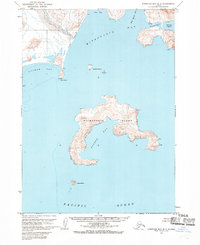
1963 · Stepovak Bay D-3
USGS Topo · 1:63,360

1963 · Stepovak Bay
USGS Topo · 1:250,000

1969 · Stepovak Bay
USGS Topo · 1:250,000
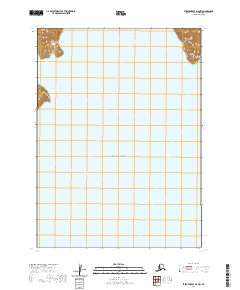
2020 · Stepovak Bay D-2 NW
USGS Topo · 1:25,000
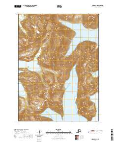
2020 · Chignik A-2 NE
USGS Topo · 1:25,000